A shot looking over Horseshoe Bay this morning, with the Queen of Oak Bay (the ferry I caught to Nanaimo) just arriving. Not seen: A large dog trying to manhandle (doghandle?) a gigantic piece of driftwood.

A shot looking over Horseshoe Bay this morning, with the Queen of Oak Bay (the ferry I caught to Nanaimo) just arriving. Not seen: A large dog trying to manhandle (doghandle?) a gigantic piece of driftwood.
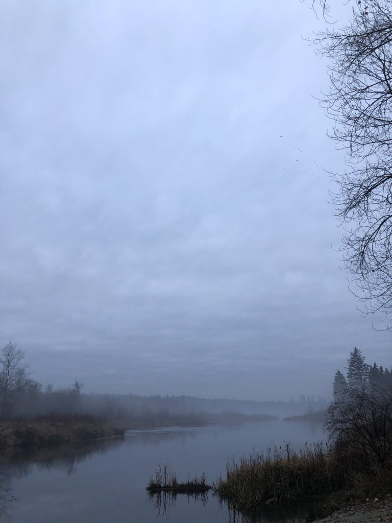
Burnaby Lake in the late afternoon mist.
This afternoon Nic and I drove down to Horseshoe Bay so Nic could use his keen photographer’s eye to get some pics of ferries so I might ponder how to use them for a potential book cover. We had it all planned out. Mostly.
It was a beautiful and unusually warm day–my watch told me it got up to 26°C, which is much warmer than normal for not-quite mid-May. Not that I’m complaining. I got downtown early, so I strolled around seeing what has changed, then went to Sunset Beach, where two women were in the water, not exactly swimming, but up to their waists in it and wearing what may have been, “What were we thinking?” looks on their faces. A short distance away several crows were pestering a seagull. I couldn’t determine why as there was no sign of food and I doubt the crows were nesting right where the tide comes in. They flow off after a few minutes, having forced the seagull to move about one meter away from its original position.
i wasn’t standing very close to the feathered fracas–I’m not big on volunteering to get pecked–so this is a fuzzy, zoomed-in shot of the action in which one of the crows looks more like abstract art, but when I have an iPhone 18 with super telephoto lens as standard, this would look way better. So just pretend for now.

I then met Nic and we had a nice lunch at the Fountainhead Pub on Davie Street. Given the weirdly warm weather, there was lots to look at, namely hot young guys that made me feel like a dirty old man. I remember walking down Davie Street when I was their age. It was when parachute pants were legitimately in style. For a few weeks, anyway.
Off we went to Horseshoe Bay next. Getting there was pretty straightforward, though we were caught in the middle of the lanes reversing when we got on the Stanley Park causeway (strangely, this happened on the way back, too. I’m still amazed there aren’t more accidents when they switch the traffic flow). Once we got to Horseshoe Bay we spent literally the same amount of time that it took to drive there (30+ minutes) looking for anywhere to park. About half a dozen drivers managed to nab spots just before we got to them. At first it was annoying, then maddening and finally, as expected, kind of hilarious. On one of our final go-rounds we actually came across a spot and parked in glorious triumph (for two hours, anyway).
We headed a few blocks down to the bay to await the ferry’s arrival, which we didn’t actually have to do at all, since it came in while we were trying to park. I was more worried it would leave before we could get out of the car to take any pics.
But we did get pics and I’m perusing them now. We’ve made tentative plans for a zany day trip to Nanaimo, as I suspect we can get even better images at Departure Bay.
Also, I got a sunburn on my neck. I have no idea how that happened. I mean, I understand the science behind getting burned skin from exposure to the sun, I just have no idea how my seemingly minimal time out in the sun led to a burn. So yes, the neck is feeling a little warm. Also my upper arms, too. At least I’m not getting a sunburn on top of my allergic reaction rash. I’d probably look like a boiled zombie.
Before leaving we got a couple of waffle cones and they were good. I did not dribble ice cream on myself, something I do almost as if it is a requirement every time I have an ice cream cone, so that was nice.
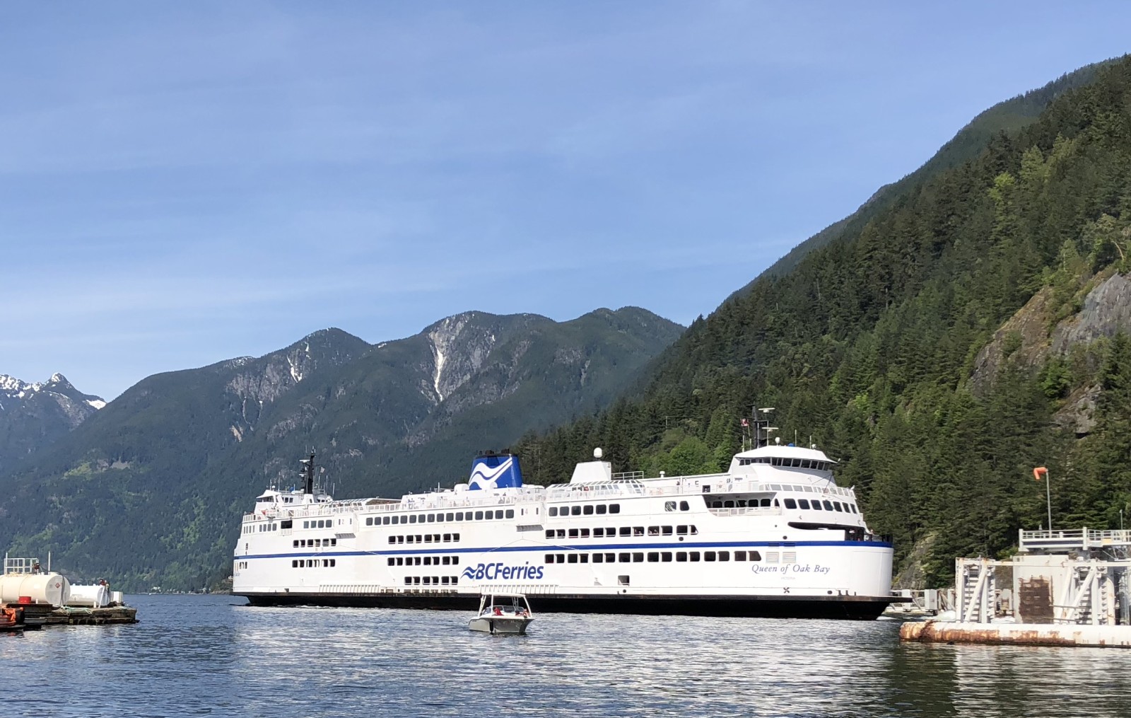
Here’s one shot of the ferry I grabbed. It’s the Queen of Oak Bay in all her marina-crushing potential:
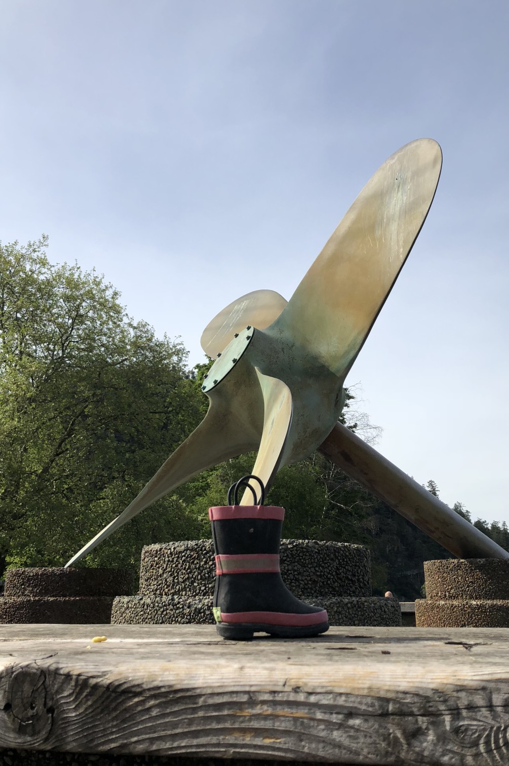
On the way back to the car I got a photo of a children’s boot perched near a giant propeller because why not? (Nic also took a shot of this, but my angle was approximately 500 times more dramatic.)
All in all, a pleasant little outing, other than the (unexpected) difficulty in parking and the (in hindsight, inevitable) sunburn. I really ought to just slather myself in sunscreen from now until October. And next time we’ll probably take the bus.
Reading about my runs is pretty dry for everyone but me and sometimes even I find it a bit dry. There’s only so many ways to wax poetic about exercise you do multiple times a week.
On August 18, 2011 my partner and I went for a stroll around Burnaby Lake. A full circuit around the lake takes about two hours when walking and covers a little over 10 km. I chronicled our walk in pictures that day and have (8 months later!) sorted them out for perusal.
Burnaby Lake is the largest urban lake in the Lower Mainland/Metro Vancouver area and has more lilypads than any other place on Earth. Or at least it seems that way. There are always plenty of birds splashing about, sunning, eating and doing generally bird-like things, copious numbers of black slugs in the warmer months and apparently turtles and fish, though I have yet to see a single turtle or fish and regard their presence at the lake as the stuff of myth and legend.
This is a modified copy of the lake map where I’ve superimposed my running route (the original is available here as a PDF). Click on it to see the detail better. My route is in red with a red dot marking the parking lot that serves as the starting point. I generally run the traditional counter-clockwise though I sometimes mix it up and run clockwise because I can be crazy like that.

Here are a few random highlights from the gallery. Click to embiggen each image.
[singlepic id=436 w=400 h=300 float=none]
Cariboo Dam.
[singlepic id=460 w=400 h=300 float=none]
View of the lake from one of the bridges.
[singlepic id=453 w=400 h=300 float=none]
If you want to touch trees, you’ve come to the right place.
Full gallery of Burnaby Lake which guides you around the lake counter-clockwise. It’s like going for a jog without any of the effort or sweating.