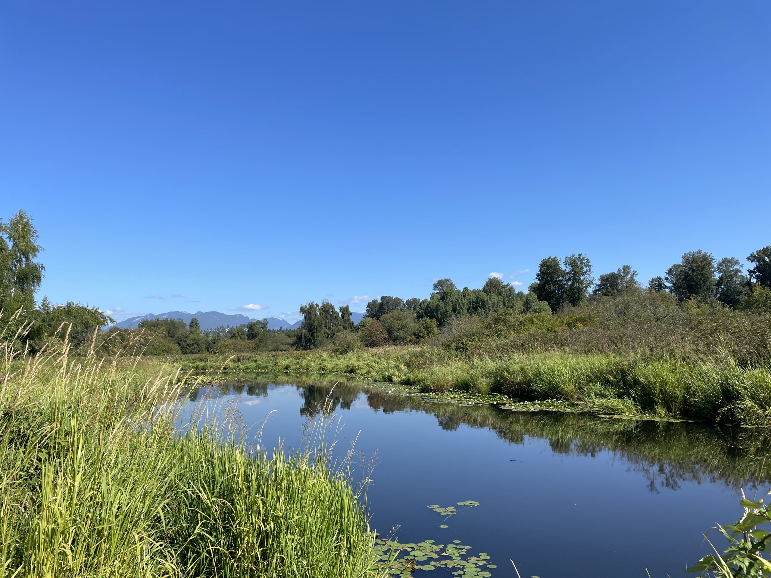
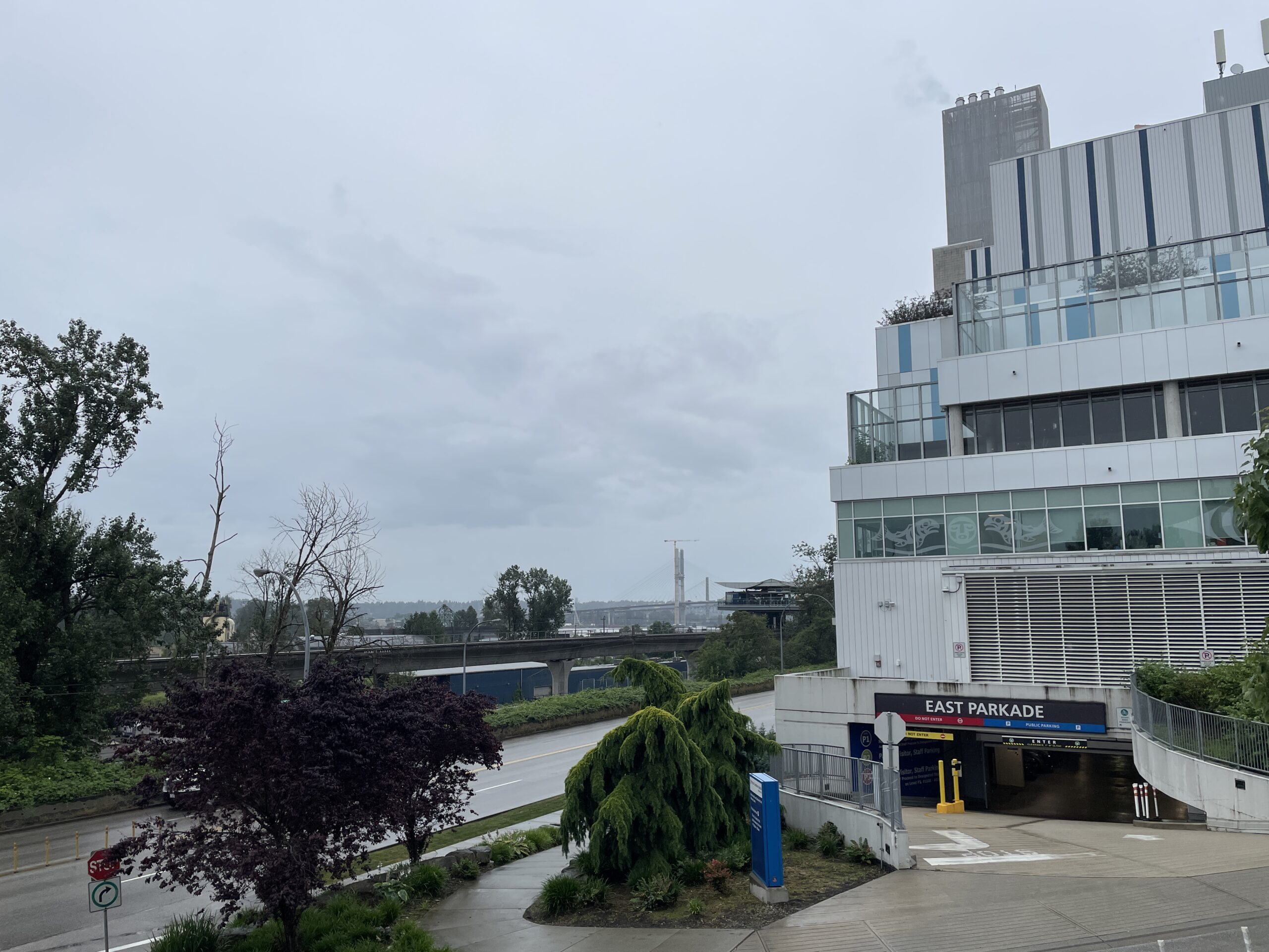
This was the Brunette River today:

The same view, February 9:
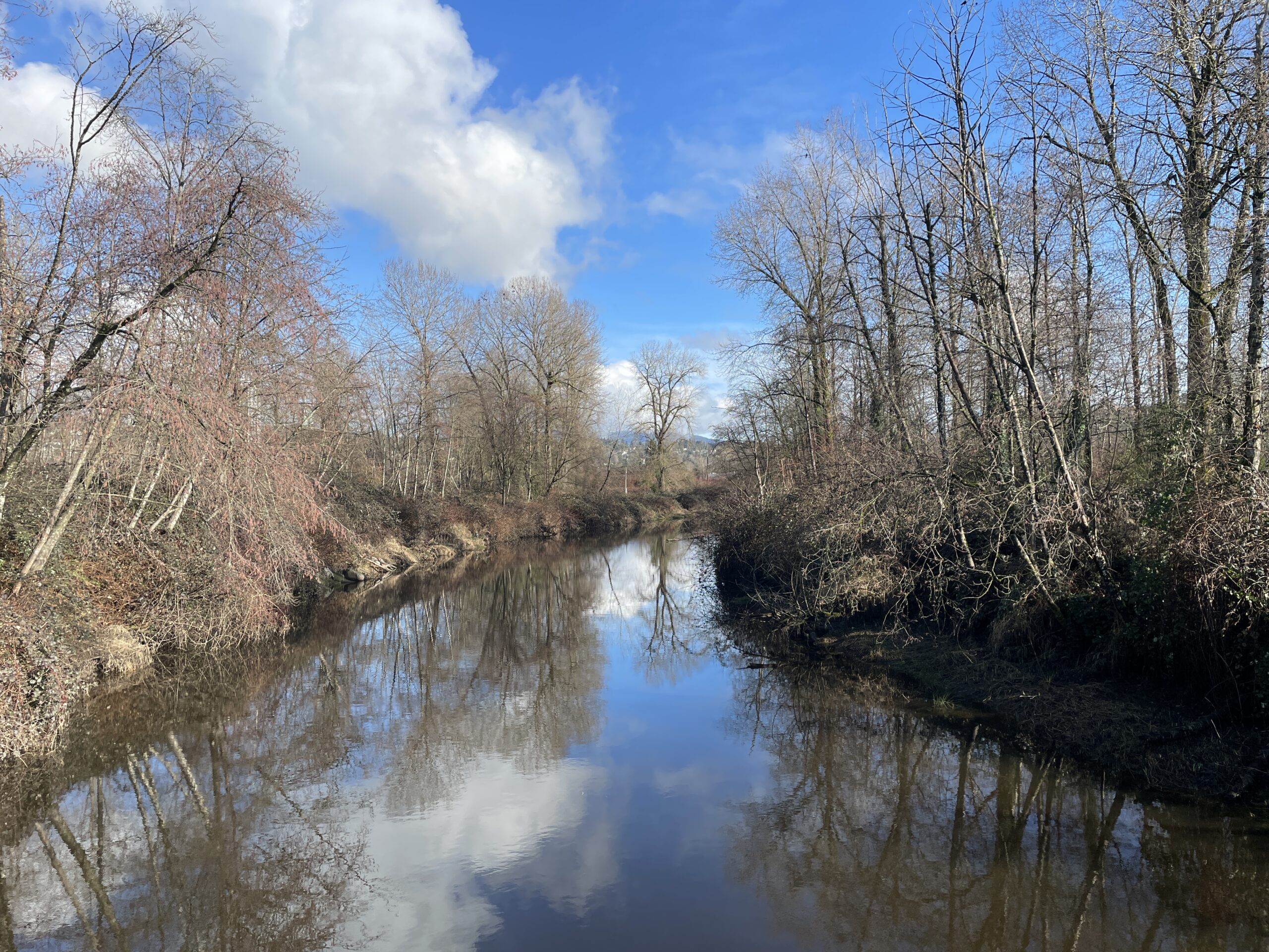
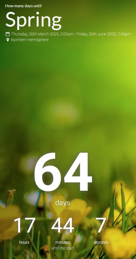
With one more day of the current atmospheric river to go, I am ready for spring. Just hold the showers.
This was the Brunette River today:
The same view, February 9:
With one more day of the current atmospheric river to go, I am ready for spring. Just hold the showers.
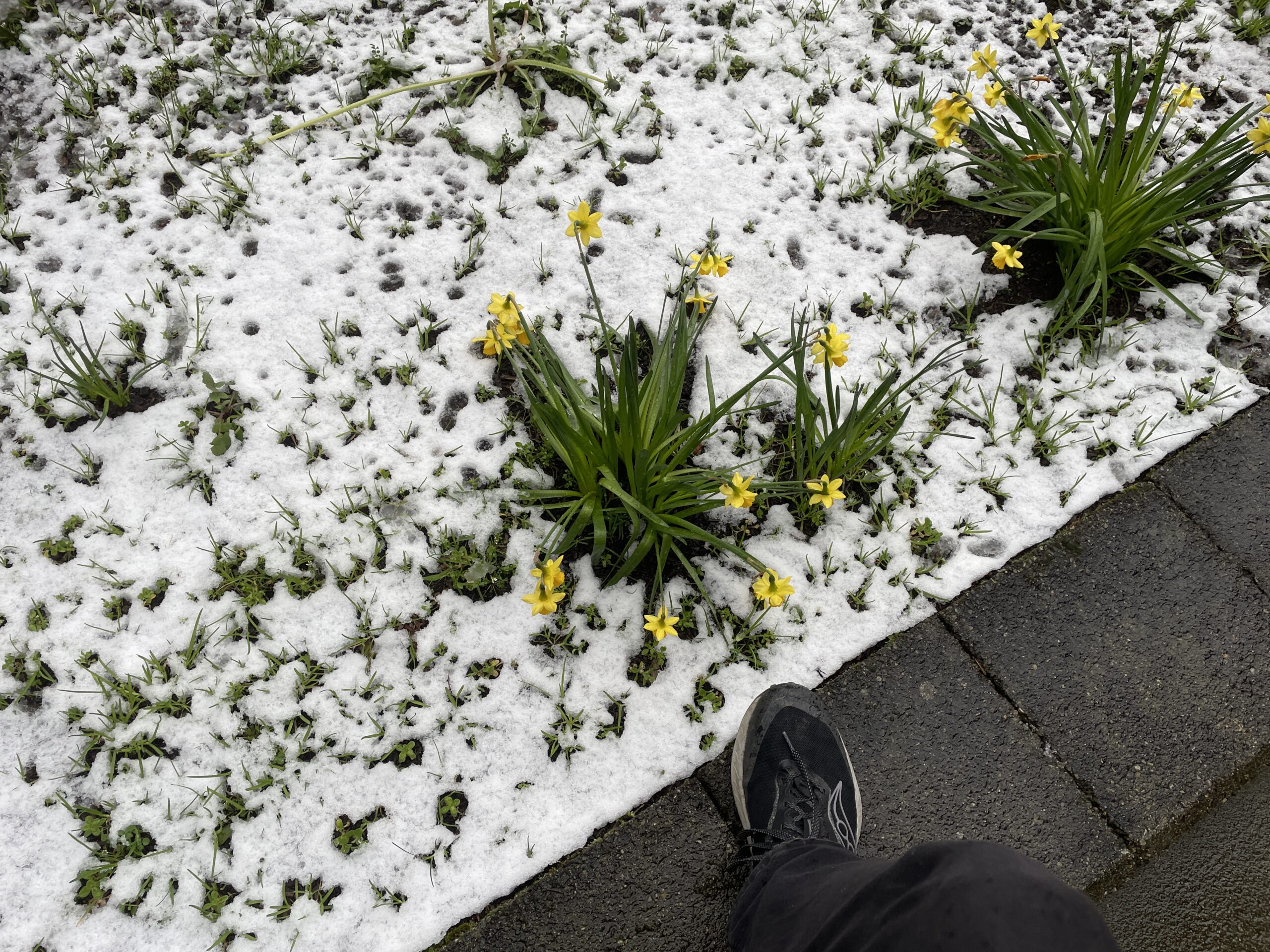
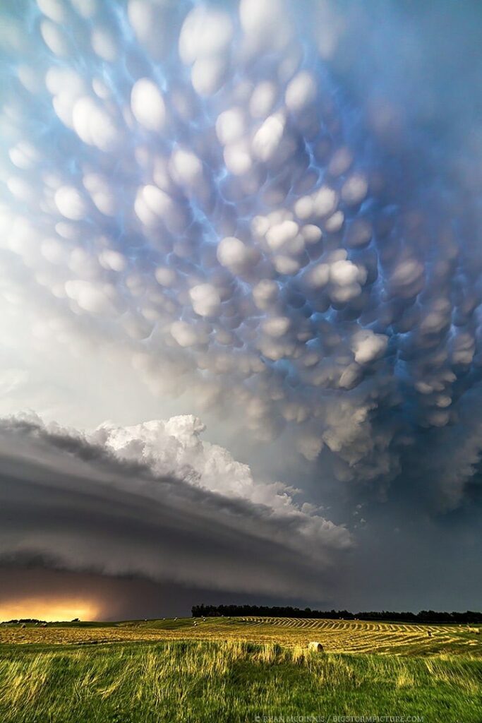
Yes, today, on March 10th, less than 10 days before spring begins and after a winter featuring no snow at all in New Westminster, it snowed.
To be fair, after a few hours, it sputtered out and turned to rain and there’s only a small chance of any further snow, which will also get washed away as morning temperatures rise.
But still.
Don’t get me wrong, I don’t hate snow–as long as it stays on the mountains, where it belongs. Or, like, the North Pole. That’s fine, too. And wherever penguins (naturally) live.
But that’s it.
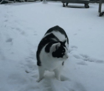
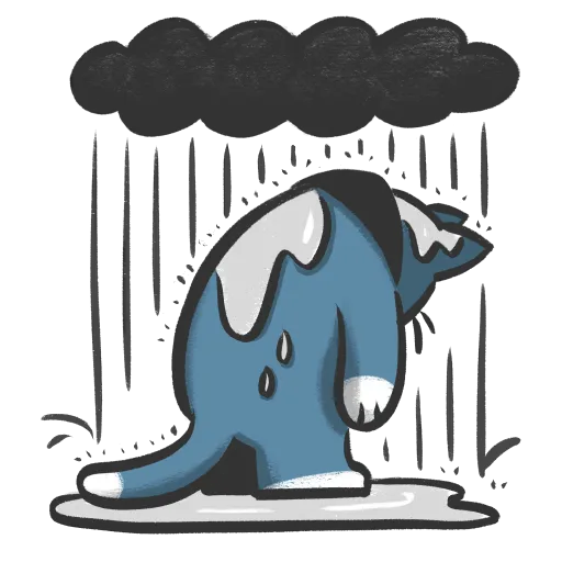
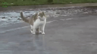
Here is a cat in the snow.
I mean, rain in January is pretty much the norm, but we just went nearly two weeks without any. It was nice.
But it’s raining now, so order is restored. As long as it doesn’t snow, I can accept this.
And it didn’t even rain today. The transition between summer and fall always hits me like no other season change. It feels like I go from heading out as early as possible for a run to avoid the heat to having to think about wearing layers within days. Everything is lush and green and the weather is warm, then just a few weeks later, we have The Rains, temperatures drop into the teens during the days and single digits at night…which begins around 6:30, instead of a more civilized 9:20.
Oh well. I’ll just look at my photos of blue skies and remember summer will come around again.
Just not soon enough, dang it.
Here’s a shot from July 28th:
It’s only been six days and I’ve already forgotten it.
(Also, why is it so fun to complain about something we have no control over? Did I just answer my own question?)
The forecast today is for intermittent showers and a high of 17C, which is a few degrees below normal.
It’s also the first day of summer.
How you feel about this forecast will depend on how you view summer in general. A lot of people are in the “Summer is too hot, I hate it” camp, so they will delight in the cooler temperatures. They may be less thrilled with the rain, but something something prevents forest fires. Even though that doesn’t really apply to an urban area like Metro Vancouver.
For me, I just take whatever we get. We’ll have warmer and sunnier days and I will enjoy them, slathered in sunblock and whatnot.
In the meantime, the current conditions are actually pretty decent for running. The rain can hold off, though.
I was not expecting that.
It also snowed some more, but it feels kind of perfunctory, like someone had a checklist with “Make it snow in the Lower Mainland” and did the bare minimum in order to check it off. I’m okay with that.
The week ahead looks mostly cloudy, clear and well below seasonal temperatures, with highs between 0-2°C and lows all the way down to -10°C. This seems like a good time to resume running on the treadmill.
Benefits of February:
Downsides of February:
As I type this, we are seeing our first intermittent snow of the winter. I disapprove.
And yes, I am totally counting. For today, at least.
(The reality is, I’m reasonably content as long as we don’t get the S-word. Also, I will start writing more substantial posts soon™.)
First, what isn’t the best:
So what is the best thing about December 2024 (so far)?
No snow!
While it has been often quite soggy, this is normal. But the 10-day forecast has mostly above-normal temperatures (as high as 11C), with lows way too high for any chance of snow. This delights me, because when it comes to snow, I am a Grinch. The best snow is no snow. The second-best snow is snow somewhere else that is not here.
So enjoy your snow, other people elsewhere! I will be here, patiently biding my time until snow is no longer possible because it will be spring and warm and lovely.
Weather:

Still better than snow! Also, that high temperature is 5C above normal, so it is mild up in the hizzy, which is even better (except for all the rain).
It’s also the shortest day of the year, but given current conditions, it may be a bit tricky to notice.
Here, again, is a cat in the snow we will not be seeing today:
I saw it today on Mastodon, posted by the user Mandu.